 United States site instead?

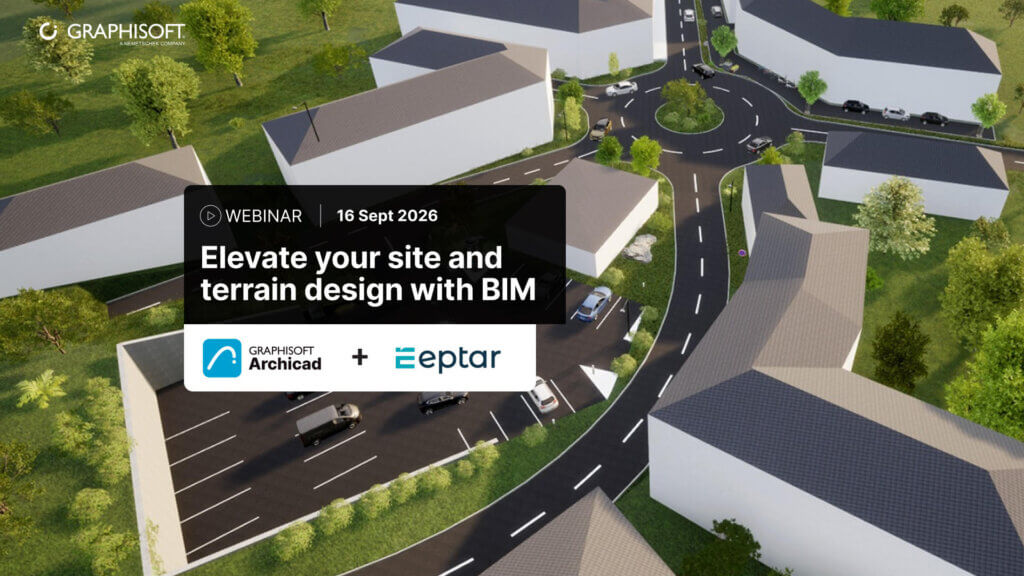
Elevate your site and terrain design with BIM - Watch on Demand Webinar
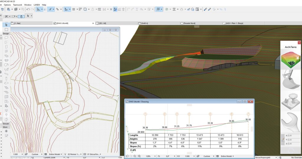
Creating a road for the future house site using the Longitudinal Section tool
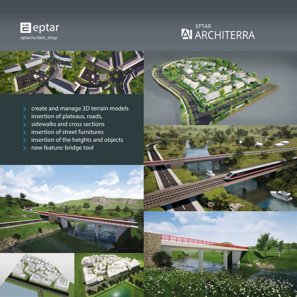
Architerra project collection
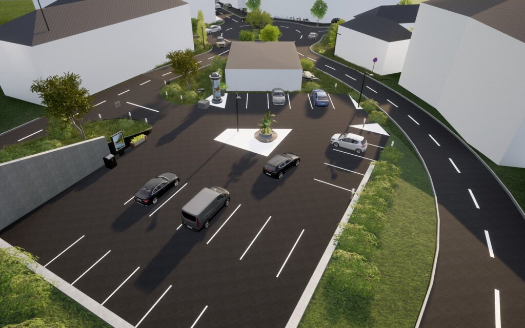
Creating a parking lot for a store
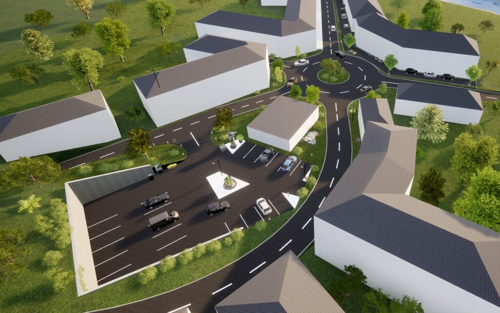
Store parking lot from another view
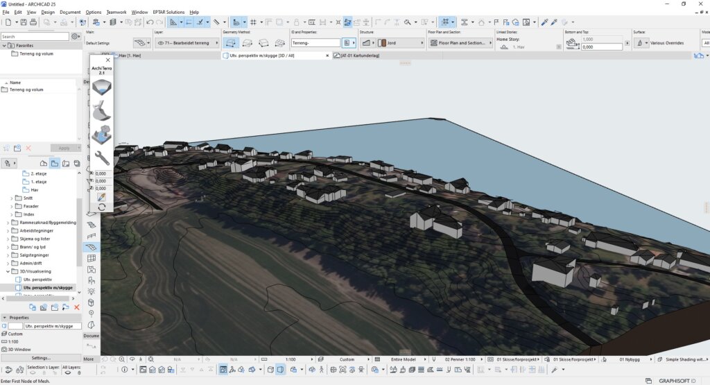
Terrain view from above with visible contour lines
Architerra product design
Beschreibung
Architerra is the solution for Archicad users to create and manage 3D terrain models. It is a useful tool especially if you need to work with large sites, allowing the insertion of other elements such as roads, plateaus, buildings and others.
Details
 Archicad 23-29

Layered Mesh
Layered Mesh creates layers from an existing Mesh, allowing complex forms to be represented with multiple construction layers.

identify
Automates the assignment of IDs and descriptions to element types in a single interface, easier and faster.

quantify
Links project elements to items in bill of quantities, automatically calculates their quantities and generates BOQ in Archicad.

Image to GDL
Generate editable GDL objects from product images and place them directly into your Archicad projects.

PAZ-BOX
Automatisiert wiederkehrende Archicad-Aufgaben in Entwurfs- und Ausführungsphasen und spart Architekten jede Woche Stunden.

Ortho Tool
Align walls and beams to the current view angle if they are within a given tolerance.