 United States site instead?
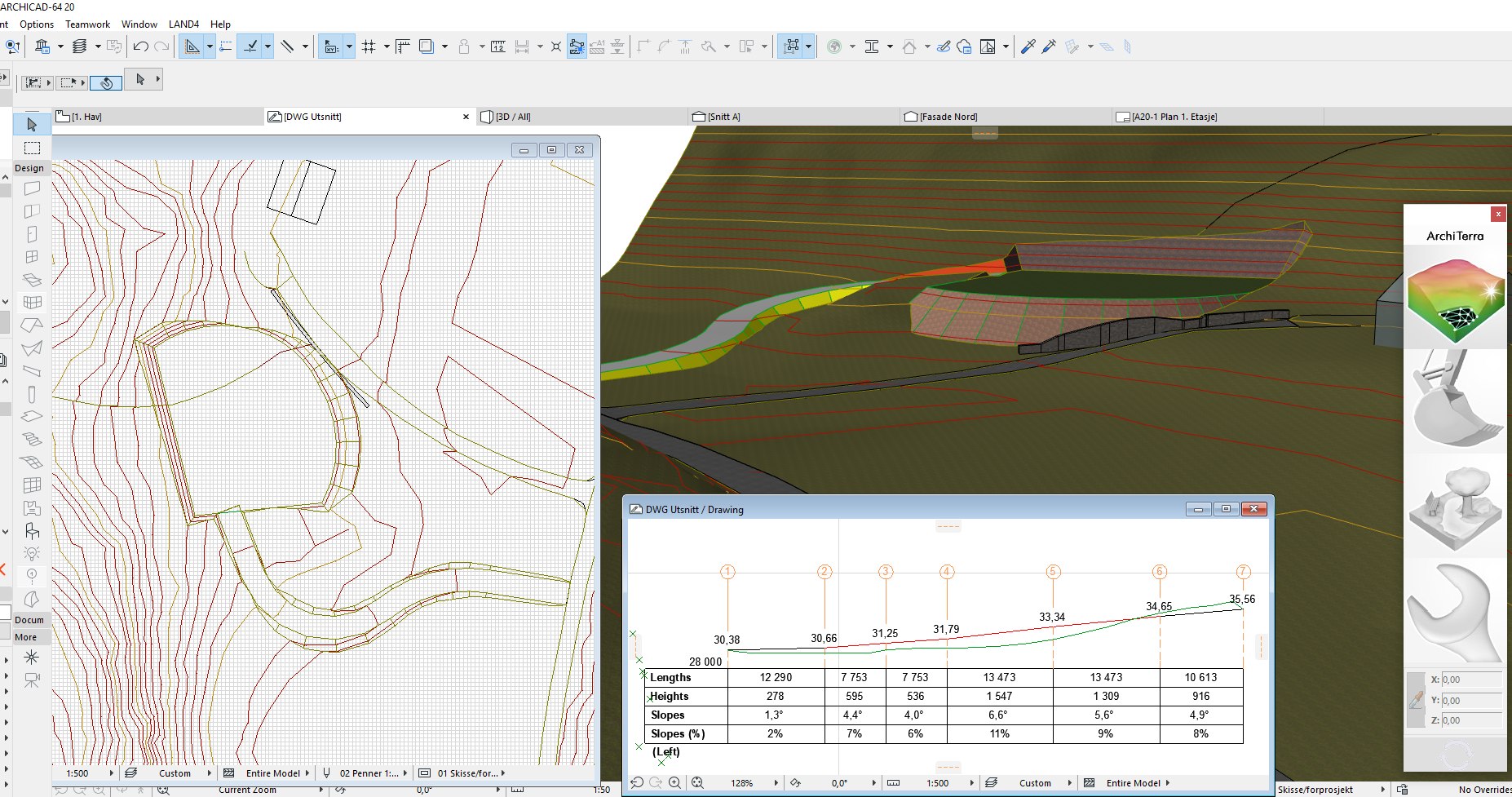
描述
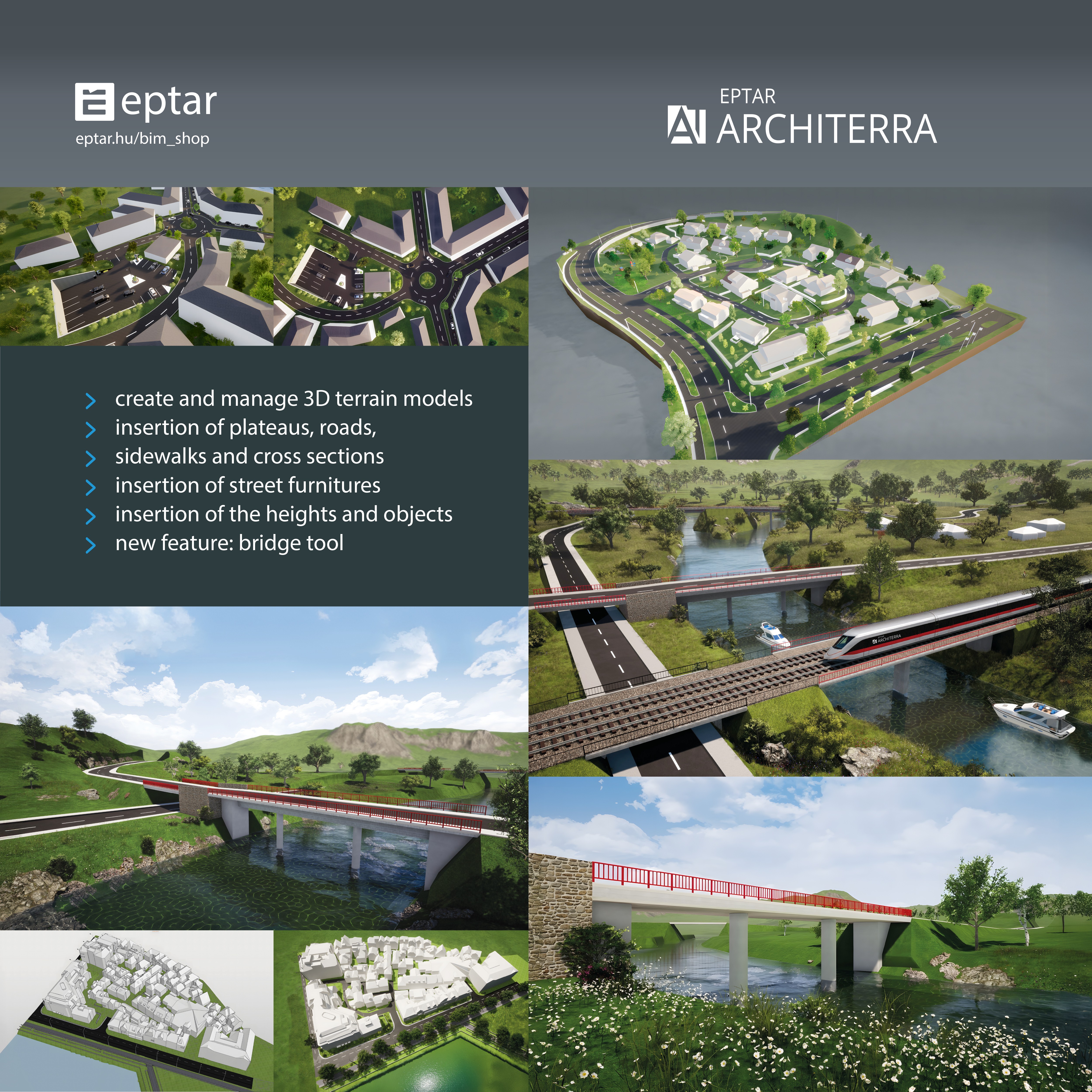
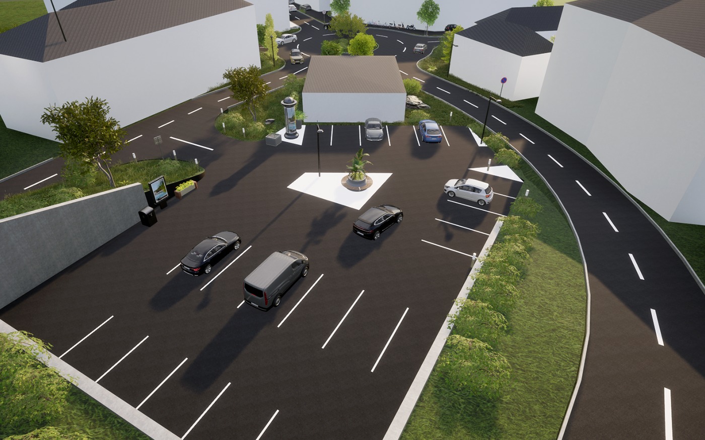
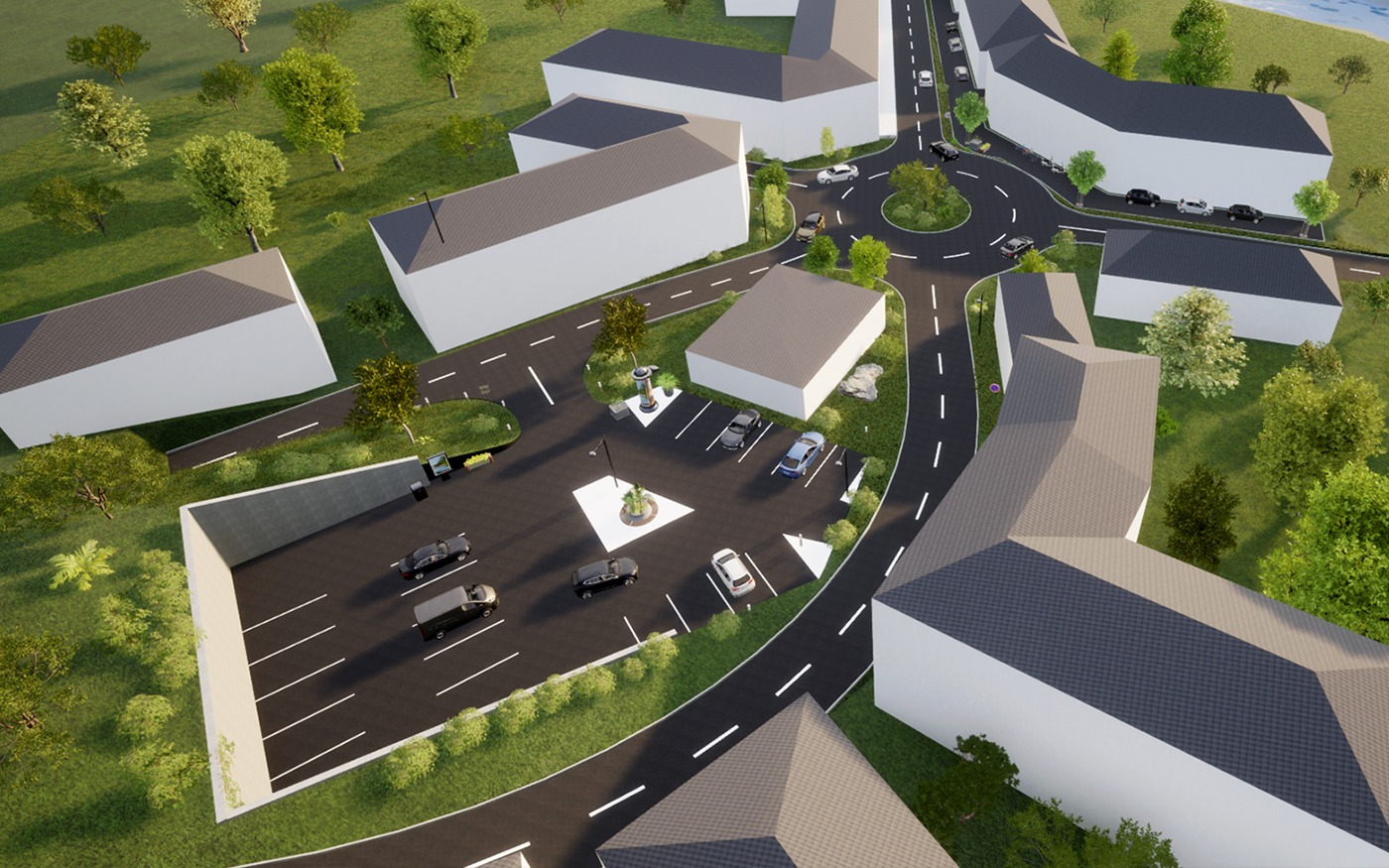
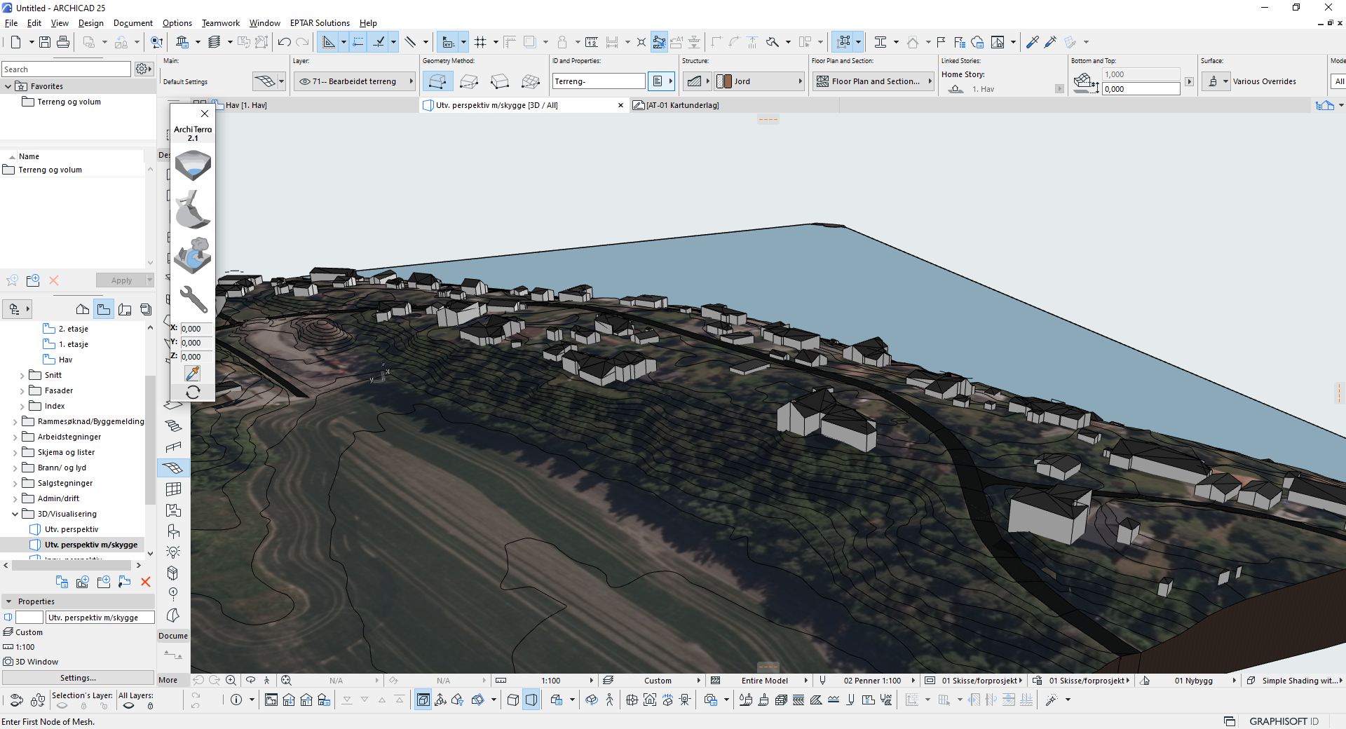
Architerra is the solution for Archicad users to create and manage 3D terrain models. It is a useful tool especially if you need to work with large sites, allowing the insertion of other elements such as roads, plateaus, buildings and others.
詳細資訊
更多類似的解決方案
Ortho Tool
Align walls and beams to the current view angle if they are within a given tolerance.
Save Layer Settings
Conveniently store your current layer settings into existing layer combinations.
Room Coverings
Automatically create coverings modeled as native Archicad walls & slabs.
bimproject.cloud
Connects Archicad to bimproject.cloud. Insert up-to-date product information into your project with GDL Library extension.
Finch — AI for how the world builds
AI-powered platform for architects and developers to generate, optimize, and deliver building designs.
DesignLCA
DesignLCA 100% BIM-based Life Cycle Assessment tool that gives consultants an overview of the climate impact of their projects.